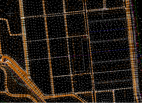
Lidar is an acronym for Light Detection and Ranging. It is an active remote-sensing technique which uses light in the form of a laser to measure distances(range) of objects.
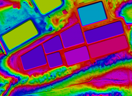
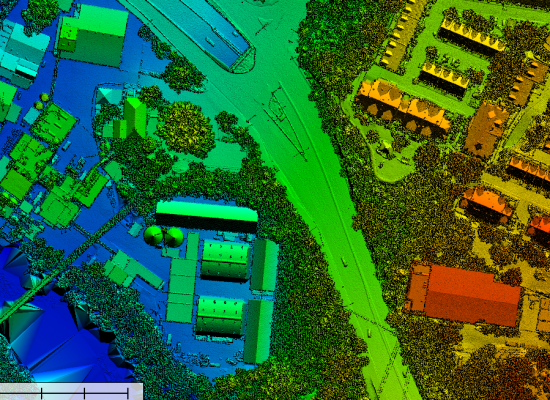
Aerial LiDAR surveys are carried out when the study area is huge (hundreds of square kilometre). The dense point clouds are mostly used for generation of digital terrain models, contours, and surface models etc, which supports projects involving Irrigation, hydrology, Forestry and Urban planning etc.Our Services in Aerial Lidar include
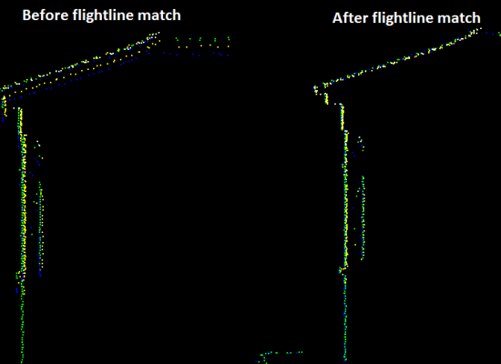
- Aerial Flightline Matching
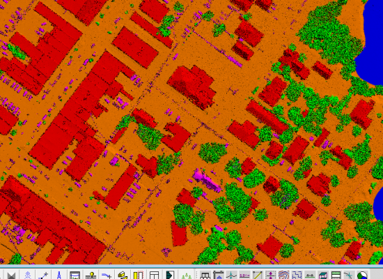
- Dtm And Dsm Classification
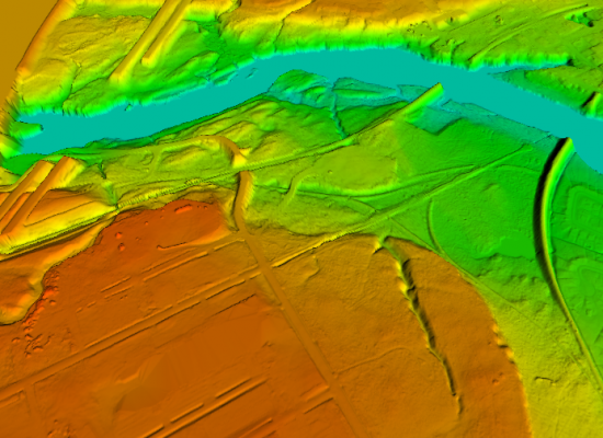
- Hydro Flattening
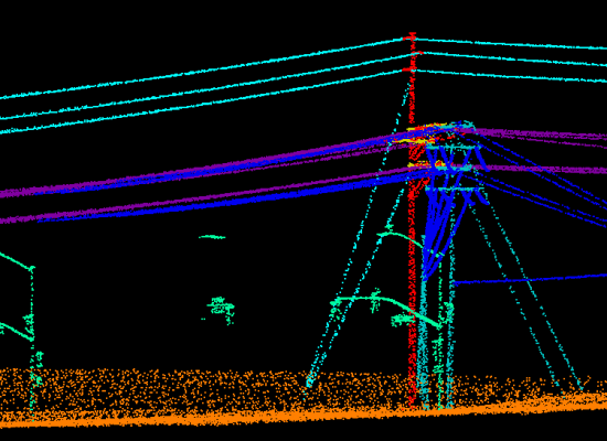
- Powerline Classification
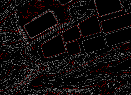
- Contour Generation
- Advance Classification
Lidar is an acronym for Light Detection and Ranging. It is an active remote-sensing technique which uses light in the form of a laser to measure distances(range) of objects.
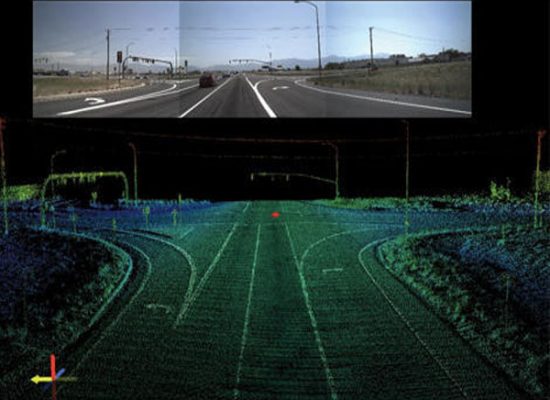
Mobile Lidar surveys cater to the survey of transport corridors such as roads and railways. We enable in providing accurate 3D representation of the corridor and thus facilitate Engineering tasks such as – asset mapping, cross sectioning, profile sectioning and 3D modelling of transport corridors.Our Services in Mobile lidar include
-
- Mobile Flightline Matching
- 2d Mapping
- 3d Mapping
- Contour Generation
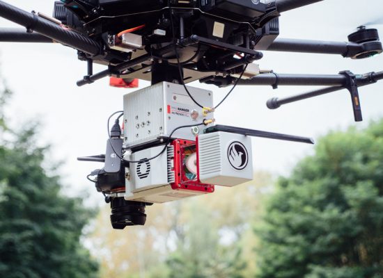
Drone aerial surveying have started to be widely used in Geospatial sector. UAV images are used to generate high quality DTM, DSM, contour, volumetric calculation and for 3D modeling.Our Services in UAV Lidar include
- Digital Terrain Model (DTM)
- Digital Surface Model (DSM)
- Volumetric Analysis
- Contour and Topographic mapping
- 3D Visualization
- Ortho-mosaic
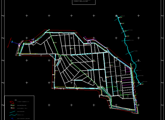
With abundance of geographic data in today’s geospatial market, it is cost -effective to convert data from one format to other than to re-create it. AGS has an expert team to offer Data Conversion Services with international mapping standards. Our Services in Data Conversion include
- Base Map Creation
- Cadastral Mapping
- Parcel Mapping
- Topographic Mapping
- Utility Mapping
- Land use Mapping
- Land cover Mapping

